
Reading Brooke County Parcel Maps
MapWV is Brooke County's public GIS front end. The same tool appears as WV Property Viewer. It pairs E-911 address matching with parcel attributes from the Integrated Assessment System. Search options run wide. A query can use an address, an owner, a full parcel ID, or a shape drawn right on the map. The detail panel may list the owner of record, physical address, building information, cost and appraised values, flood details, community, and delinquent status.
| Layer | What It Shows | Use |
|---|---|---|
| Parcel polygons | Best-fit tax parcel shapes | Locate a parcel and nearby map units |
| Owner and address | IAS owner name and E-911 physical address | Connect a polygon to an assessment result |
| Flood detail | Flood information associated with the parcel | Screen a question, then confirm with the official source |
| Assessment report | Link to the statewide assessment record | Compare map ID and value details |
| Community/status | Community and delinquent-status attributes | Context only; verify current status with custodian |
MapWV exports are convenient tools. They are not certified land records. The viewer offers Highlight, Copy Link, Download KMZ, and Export as CSV, and a GIS ID or parcel number carried to the assessor card leads through its deed book and page to the recorded instrument.
MapWV Search Modes and Detail
The viewer sorts its searches into three families. They cover E-911 street address, parcel attributes, and geometry. Parcel attribute searches ask for a county choice first, before a parcel number, owner, or property address. Geometry mode draws an area on the map instead. That helps when an old legal description refuses to line up with a current street label, and results come back listing GIS ID, owner names, and address information.
Click a row to zoom in. The detail panel may add building data, cost and appraised values, flood information, delinquent status, and links out to other maps. One caution applies. The viewer flags any result with no valid geometry and caps a search at 1,000 rows, so narrow a broad query before it truncates. The MapWV parcel viewer is the place to find the current controls.
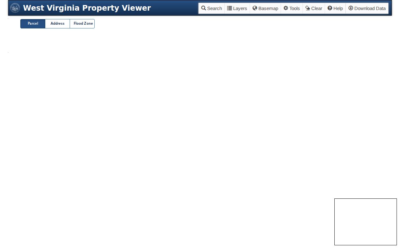
The viewer is both map and record tool. For a binding answer, confirm the underlying tax or title fact with the assessor and the clerk.
Brooke Parcel ID Parts and Zeroes
West Virginia parcel IDs combine five parts. They are tax district, map, parcel, suffix, and special. Leading zeroes carry meaning, so preserve them when an ID moves between the assessor and MapWV. The county assessor splits Map/Parcel into separate text boxes, while the statewide viewer accepts a full parcel ID with or without hyphens. A failed search often hides a typo. Compare the written ID character by character before changing any value.
Exports carry a long list of fields. Expect district, map, parcel, suffix, special, RootID/ParID, owner, legal description, deed book/page, deeded and calculated acres, owner mailing address, and separate situs address fields. One trap hides there. The owner address is not necessarily the parcel address, so keep the physical location and the mail destination separate in any map note.
Brooke Assessor Tax Map Sheets
The Brooke County Assessor serves tax maps through District and Map selectors. Reduced-size sheets can be viewed online. Full-size files may be purchased. Large files may need Adobe Acrobat. This route differs from MapWV, since a static sheet suits finding a district and map designation while the viewer handles interactive parcel search and geometry.
Open the Brooke Assessor tax maps page for the current selectors and full-size instructions. The district and map options appear right there. A tax map still serves assessment reference only, so lean on the deed or plat when exact boundary language matters.
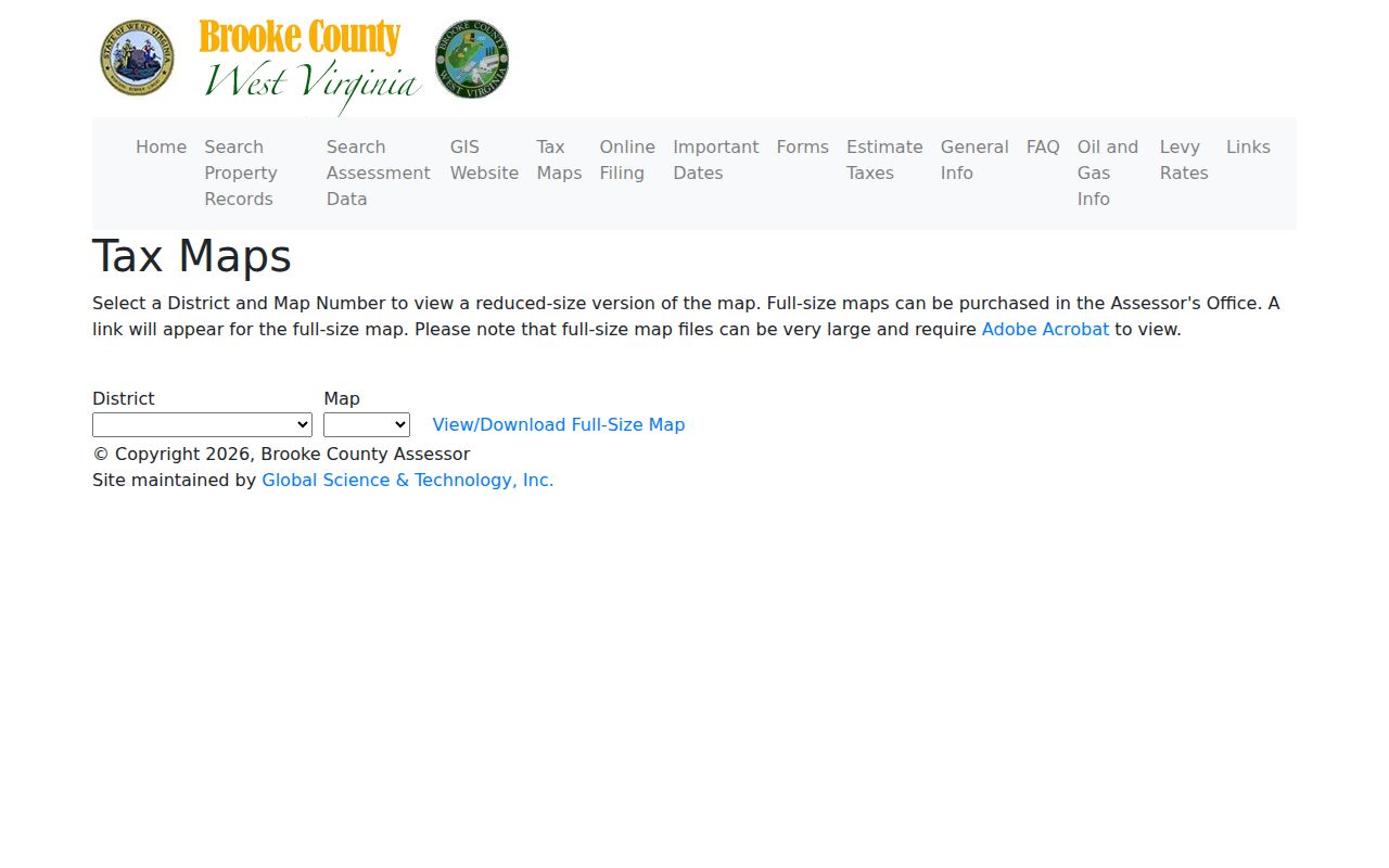
Note the district and map number too. Paired with the parcel key, they let the assessor pull the same sheet during a question.
Brooke Parcel Splits and Update Lag
A recent sale can leave a deed, an assessment card, and a map looking out of sync. A split or consolidation can do the same. That is common. Brooke's consolidation guidance requires contiguous tracts. It also requires the same tax district and the exact same owner name or names. After a divide or combine, county processing may come first. Only then will the state viewer draw the new outline.
MapWV's FAQ flags a known lag. New parcel lines may not appear until the county submits the change. The FAQ advises contacting the local assessor if lines stay unupdated after two years. Bring the recorded deed and the prior parcel ID when asking about a missing line. Often the map simply reflects an older update date.
Brooke Plats and Historic Survey Books
Plats and land instruments live with the County Clerk. West Virginia Archives holds Brooke County survey books covering 1797 through 1856 along with earlier surveys from 1780 to 1786. Deed indexes begin in 1797, and deeds run through 1901. Older records often describe land by lot, farm, creek, road, or adjoining owner. Street addresses came later. That makes these collections essential when a parcel traces back before modern addressing.
Start with the assessor's parcel number to place the land on the current map. Then compare the deed description against the recorded plat. When the GIS polygon no longer matches an older lot and block pattern, something changed. Look for a replat, a consolidation, or a split. Also look for a correction deed, a boundary agreement, or a street action. A GIS map can point you toward those property records. Only the recorder's documents can settle the boundary.
Finding a Brooke County Parcel by Address
MapWV's E-911 locator wants three things: a street address, a city, and the WV abbreviation. Rural routes and PO boxes will not resolve. An address lookup can come up empty. Pick Brooke County in parcel search and query the full parcel ID, the owner, or the property address instead. Geometry search offers another path. Draw an area on the map, and every Brooke County parcel inside it appears. That works well when a whole block or tract matters more than one numbered address.
- Enter a physical street address, city, and WV; for a rural route or PO box, switch to parcel attributes.
- Choose Brooke County, then search by full parcel ID, owner, or property address.
- Click a result to zoom and open its detail; parcel lines display after sufficient zoom.
- Save the GIS ID and carry the parcel to the assessor and deed reference.
- Parcel ID
- A district, map, parcel, suffix, and special-component key used in tax and GIS systems.
- Plat
- A recorded map showing lots or surveyed land divisions.
- Lot and block
- A description that points to a recorded subdivision plat.
- Deeded acreage
- The historic acreage conveyed in the deed, distinct from a GIS calculation.
What Brooke County Parcel Maps Cannot Establish
MapWV calls its tax map a best-fit visualization. Parcel polygons are fine for locating a tax unit. They cannot settle whether a fence, driveway, creek, or bank sits on one side of a legal line. The viewer flags deeded acreage as the official historic acreage. That figure is the primary legal record for conveyance and boundaries. A polygon is a guide, in other words, not a boundary determination. Before land is built on, sold, or disputed, rely on the deed, the plat, and a licensed surveyor. That is how to fix the lines with certainty.
Not a survey. Brooke County GIS lines support tax and map reference. A licensed surveyor and the recorded deed or plat are the right sources for a legal boundary question.
Using Brooke County Parcel Maps for Rural Addresses
The E911 address locator in MapWV asks for a street, city, and state. Rural-route names and post-office boxes fail as parcel coordinates. If the address search refuses to cooperate, fall back on the assessor's district, map, and parcel numbers. You can also start from a known nearby road and spot the parcel visually. The parcel viewer caps results at 1,000. Narrow any broad search by locality or map identifier. A long result list is not a complete one. Where the layers are available, turn on parcel and E911 together. The address point orients you. The parcel polygon identifies the tax unit. Parcel lines draw at a scale of about 1:18,056 or closer. Zooming in can make a boundary that seemed missing appear. Select a feature to read its details. Then compare the displayed account and owner information against the assessor card. Treat the best-fit view as a navigation aid, never as a measure of legal frontage. MapWV supports CSV and KMZ downloads for map work. Save the export date and the parcel key before moving data into another program. A downloaded layer is only a snapshot of the viewer's data. A recent split, combination, or road change may lag behind the map. When a parcel line looks more than two years stale, contact the Assessor. Ask whether a newer tax-map record exists. For conveyance and boundary research, deeded acreage remains the official historic acreage.
Brooke County Tax Map and Parcel Detail Fields
When a street search is not precise enough, pair the county tax map selector with the assessor's district and map identifiers. After a polygon turns up in MapWV, open its details. Record the parcel number, account, and owner fields exactly as displayed. Check those identifiers against the assessor's search result before downloading or printing any map. The cross-check matters most when several lots share one street number. It also matters when a parcel carries a long legal description. One wrong digit can pull the wrong tax roll entry. Think of E911 points as orientation and the tax parcel layer as the outline of the tax unit. The layers answer different questions. A point locates an address; a polygon groups land for assessment. Neither substitutes for a survey. The state viewer's best-fit map is built to display parcel information clearly. Yet scale, projection, and source updates all affect how close a line appears to a physical feature on the ground. Near a municipal border or county line, verify jurisdiction before trusting a city label. Parcel geography points a search toward Brooke County or a neighbor. But the deed description determines the recorded tract. If the map and the legal description conflict, ask the Assessor whether the tax layer has been revised. Then obtain the deed or plat from the Clerk. Those records control. The tax map merely illustrates.