
Three Brooke County Property Value Numbers
A Brooke County property card holds several values. Appraisal, assessment, land, building, and sales history share one screen. Per the assessor's published guidance, assessed value generally equals market or appraised value multiplied by 0.60. A recorded sale price is a different animal, a transaction fact, so the three figures can diverge because of method, date, or the nature of the transfer itself.
| Value | What It Is | Where |
|---|---|---|
| Assessed value | Taxable value, generally 60% of market/appraised value | Brooke Assessor |
| Market/appraised value | Assessor’s full-value estimate for assessment purposes | Brooke Assessor |
| Last sale price | Consideration or price tied to a transfer | Assessor sales history; confirm in deed |
| Land/building values | Assessment split between land and improvements | Brooke Assessor card |
The 60% ratio is an assessment method. It is not a market quote. Brooke's assessor applies it locally, and it says nothing about what a buyer will pay when the deed reflects a family transfer, an estate event, or another non-market circumstance recorded at an unusual amount.
Brooke County Assessed Value Uses July 1
Brooke County sets its assessment date on July 1 each year. That means each assessed value belongs to a tax cycle. It is not a live estimate. A parcel that sells after July 1 can show a sale price. It can also show an assessment from two different moments. Anyone comparing properties should note which cycle each number comes from.
The Assessor applies a 60% formula. It is the general relationship between assessed value and implied full value. No buyer is guaranteed to pay that implied figure. Property condition and sale terms stand as separate facts. The date of the transaction also stands as a separate fact in Brooke County property records.
Brooke Assessment Card Value Fields
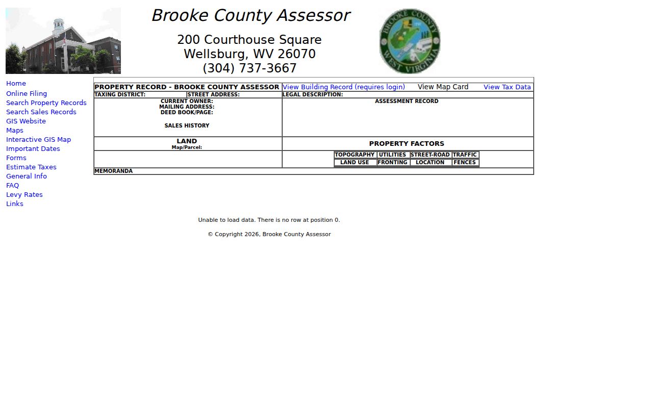
Value fields never stand alone on a Brooke card. Assessment record and sales history sit beside the owner, mailing and situs addresses, deed reference, legal description, and map/parcel number. The Assessor property record is the primary screen for all of it. Value information appears there among the other parcel details.
Match each sale to its deed book and page.
Looking Up a Brooke County Assessed Value
The Brooke Assessor search accepts several keys. Parcel address, owner name, account number, district, map/parcel, property type, legal description, and deed book/page all work. Open the parcel card. Note the assessment record, land and building data, and sales history. The search is free. A View Building Record link requires login. Any unclear value is worth a question to the Assessor about which field and year it reflects.
- Find the parcel in the Brooke Assessor Property Record Search.
- Save the assessment year, assessed value, appraised/market field, and land/building split shown.
- Read the sales-history entry, then compare it with the County Clerk deed for the transaction.
- Keep the tax bill separate because levies and exemptions affect the amount due.
- Assessed value
- The taxable figure used as the base for tax calculation.
- Market/appraised value
- The assessor’s estimate of full value, not an independent appraisal.
- Assessment ratio
- Brooke generally applies a 60% relationship to market/appraised value.
- Sale price
- A transaction figure recorded in a deed or reflected in sales history.
Brooke Sales History and Deed Price
Sales history on the assessor's card can point you to a transaction. The deed is what confirms it. Match the date, parties, parcel, and consideration. A non-market transfer makes a recorded amount a weak stand-in for ordinary market value, and the Assessor's data page does not promise a complete price history for every field.
The County Clerk's public page states no modern online cutoff and no complete current image fee schedule. Ask the clerk directly about retrieving an instrument. Never fill an empty sale-price field with a third-party estimate. The recorder's number, or its absence, is the fact.
Homestead Changes Brooke Taxable Value
Brooke's homestead exemption subtracts $20,000 from assessed value for eligible applicants. It shrinks the taxable base only. Market value and recorded sale price stay untouched. Per the Assessor FAQ, eligibility begins the first July 1 after a taxpayer's 64th birthday. A disability route exists as well. Confirm current steps and status with the Assessor.
That distinction separates a value question from a tax-bill question. The Brooke County property tax records page lays out the bill and exemption context.
Brooke Tax Class Is Not a Market Signal
Brooke sorts property into tax classes. Class II covers owner-occupied homes and farms. Class III covers other property outside an incorporated municipality, and Class IV covers other property inside one. Classes set tax treatment and levy context only. The county lists Bethany, Beech Bottom, Follansbee, part of Weirton, Wellsburg, and Windsor Heights as municipalities.
When a Weirton or postal-city record seems inconsistent, confirm the county and municipal setting before comparing tax values. A municipality never sets a home's worth.
What Brooke County Assessed Value Is Not
The assessor's value exists for taxation. It is not a guaranteed sale price, a standing offer, or an appraisal for a transaction. Records move on the county's annual cycle. A recorded sale stays tied to its own date and circumstances. For a market valuation, hire an independent licensed appraiser.
Value vs price. Brooke County assessed value is a tax figure, not what a property will sell for. It is not a substitute for a licensed appraisal.
Brooke County Assessment Classes and Value Factors
Brooke County assigns every parcel a class when it builds the assessment roll. Class II covers most owner-occupied homes and farms. Class III handles other property outside an incorporated city. Class IV covers the rest inside city limits. Confirm the incorporated boundary for a parcel near Wellsburg, Follansbee, or Weirton rather than trusting a mailing address, because classification alone can make two similar properties land differently on the tax roll.
Assessed value in Brooke County generally sits at 60 percent of market or appraised value. The card splits that figure into land, building, and sales-history fields. Those fields explain the tax number. They are not a comparable-sales analysis. Read the parcel description and characteristics first. Then weigh any sale entry against its own date and circumstances before relying on it. A sales history can clarify the assessor record but cannot fix what the property would sell for today.
Eligible homestead property can shed $20,000 of assessed value through an age or disability route. The age route opens after the first July 1 following a homeowner's 64th birthday. A disability route also exists. The reduction trims the taxable assessment, not market price. Ask the Assessor about the current card. Confirm which documents apply, and never assume an exemption tied to a former owner carries over to a new one.
Using a Brooke County Value Record Carefully
Three dates deserve separate attention in any value question. One is the assessment date; another is any sale date shown on the card. The third is the date you pulled the record. Brooke County's assessment date is July 1. Deeds carry their own execution and recording dates. A figure from one annual roll is a tax snapshot rather than a current market quote, unless more valuation work supports it.
Suspect a wrong class or tax characteristic? Document the exact parcel field and ask the Assessor about the current correction or appeal path. The county publishes no general appeal deadline. Confirm the applicable date early, long before a later tax bill arrives. For a transaction valuation, a licensed appraiser is the right source. The public record remains a tax reference, useful for seeing how Brooke County accounts for the parcel.
Brooke County Value Search by Assessment Card
A shared owner name points to searching by parcel address or account number instead. The assessor result ties the parcel to its district, map/parcel number, legal description, deed reference, land value, assessment, and any sales-history entries. Compare those fields before concluding anything about value. A mismatch in the parcel description or tax class can sink the comparison. Two similar cards may not compare.
Owner-occupied? Confirm the Class II designation. Check any homestead reduction on the card as well. Other property is Class III outside an incorporated city or Class IV within one, whatever the mailing address suggests. The municipality drives the class, so verify the actual boundary. Ask the Assessor when a class or exemption looks inconsistent with the recorded parcel facts.
Write down what the public source says. That means the assessed figure, the assessment year, and the property characteristics. A Brooke County tax assessment explains the levy calculation. It is not a promise of a sale price. Treat it as a tax reference, never a formal appraisal or current market estimate.